ABOUT
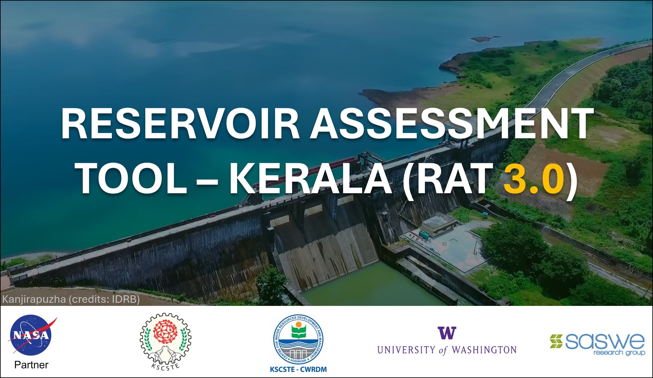
The Reservoir Assessment Tool – Kerala is a fully satellite-based tool that enables the transparent and near real time tracking of the dynamically changing state of any reservoir in the state of Kerala. The tool utilizes satellite derived storage estimates and hydrologically modelled inflow data to estimate critical reservoir operations data such as dam releases.
RAT 3.0 Kerala was co-developed by CWRDM and the SASWE Research Group at the University of Washington, USA with support from NASA Applied Science – Earth Action Water Program (Grant: 80NSSC22K0918). The working principles and efficacy of RAT 3.0 Kerala is described in the paper by Suresh et al., 2024 (https://doi.org/10.1016/j.rse.2024.114149).
PROCEDURE
After clicking ‘NEXT’, select the required reservoir using the markers present in the map. Information regarding the selected reservoir will then be displayed in a pop-up window. You can switch between various reservoir data such as Inflow, Surface Area, Outflow etc., using the on- screen options. The ‘Data Download’ tab in the header section of the webpage can be used to save the reservoir data to your local device as .csv files. The ‘Documentation’ tab can be accessed for a more detailed explanation on how to use the tool.
CLICK NEXT TO PROCEED


